
Rampurhat
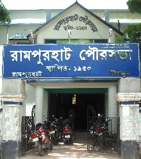
Municipality
Municipality
 |
|

|
|
ABOUT US
 This city is important because of the tourist attraction for Tarapith which contains an important Hindu temple and famous for the Great devotee 'Bamakhepa'. It is also recognised as 'Shaktipith'(shiddhopith) as per Hindu belief. The river Dwarka flows by this side. Another attraction for Hindu devotees ‘Nalateswari Mandir’ situated at Nalhati, 15 K.M. away from the town. The temple is described as one of the ‘Satipith’ of 51 other Satipith in India. Birchandrapur, 20 km. away from the town is famous for the birthplace of Nityananda Swami, co founder of Baisnav religion with Shri Chityanyadev. Birchandrapur, named after Birchandra Goswami – the son of Nityananda, is a part of the village Ekachakra which according to mythology has been inhabited by the Pandavas. ‘Akali mandir’ is situated at Akalipur, near Bhadrapur, 25 k.m.from Rampurhat and famous for its unique hexagonal structure and had a history of more than 300 years (it is associated with Maharaja Nandakumar). Devi Gujhyakali’s idol is without Shiva. Perhaps the idol was from the dynasty of Pawanas followed by Jarasandha of Magadha. Later it was with Raja Chet Singh of Kashi. Hastings attacked Kashi palace and taken the idol to Bengal. Maharaja Nandakumar recovered the idol from British Pirates. He wanted to take the idol at Bhadrapur. Ancestral village of Maharaja Nandakumar was at Bhadrapur around 5 km away from Akalipur. Sthapana of Goddess was done by son of Nandakumar at Akalipur. Various languages are spoken by the people of the town, Bangla, Hindi, Bhojpuri, Santahali, Marwari are common language of Rampurhat. People of Rampurhat celebrate all festival with same zeal.The main festivals are Durga puja, Kalipuja, Chhath, Id etc. Chhathpuja is celebrated by Bihari community in Gandhipark. Hattala, Nischintapur, Mahajanpatti, etc. are known for Durga puja.
| 03461-25-5008/8678 | |
| rampurhat.mun@gmail.com | |
| 153L, Gandhi Park Rd, P.O, Rampurhat, West Bengal 731224 |